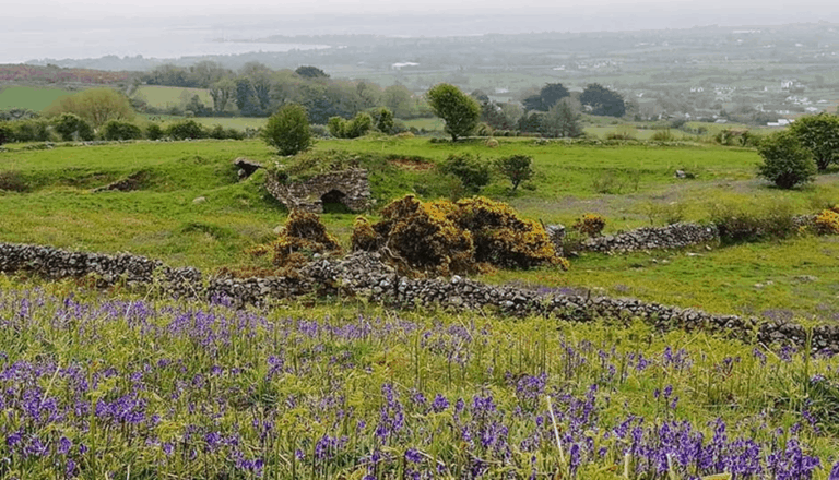
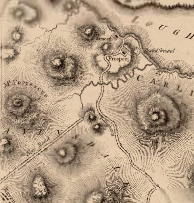
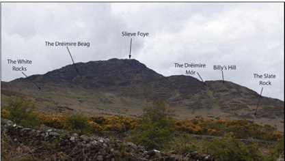
For visitors to Cooley the Long Woman’s Grave is a great conversation starter. The romantic story behind it may require a stretch of the imagination, but things are more believable in this rugged mountain hollow. Mapmakers and county engineers are unromantic by nature, so the mountain-top road junction is known to them as the Windy Gap, for reasons that are obvious at most times of the year. If we go back to the first map of the area, drawn by Matthew Wren in 1766, it had another name, Follogherin (Folach Eireann) which according to Fr Lorcan Ó Muirí’s history means ‘The Hiding Place of Ireland’. When there were no roads running through the Gap it would certainly have been that.
In 1770 John Hutchison, land agent for the Bayley estate which owned much of the peninsula, wrote to his landlord in England asking for permission to pay thirty pounds to the county Grand Jury “for a road from Ravensdale to Omeath, from near where your Honour was viewing the march between you and Colonel Fortescue (the Ravensdale landlord), to be finished this summer through the mountains down to Souter’s’’. This was the new road from Jenkinstown shown on the Wren map; Souters was an inn down in Omeath.
It was over a hundred years before the second road from Glenmore came through the Gap and connected with the Famine road which came up through Tullagh from Cornamucklagh. Even before the roads were built there were tracks and pads and there must have been enough passing foot traffic to keep Peggy Tam’s shebeen in business. It was in the angle of the roads looking down on Annagh bog and it is remembered because Peggy Tam became the target of our local literary hero, Seamas Dall Mac Cuarta. The poet’s line of credit in the shebeen had long since run out when he came tapping on the window one night. Peggy Tam blew out the candle and told her other customers to hide on the floor until the penniless rhymer was gone. She reckoned without the sharpened hearing of a blind man. He retaliated with one of his most famous poems: The cold house of Corrakit, where ‘they hoke like badgers in the dark’.

