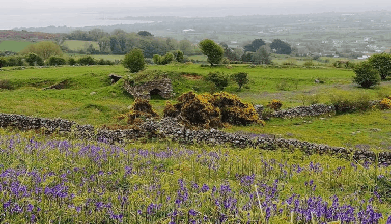
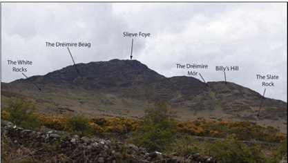
There are many kilometres of walls running through the Cooley Mountains. We have no way of knowing with certainty which was built as famine relief works in the dreadful years of 1846-47, but there is enough folk memory to be sure of some, and we can make educated guesses about others.
Walls which have no obvious agricultural or economic purpose were unlikely to be built by those who farmed the land. These include walls which run along townland boundaries, a typical choice of the Relief Committees which chose projects for government funding. The committees were dominated by landlords and they liked the townland walls because they were usually also estate boundaries. The longest wall runs more than five kilometres from near the Carrickdale Hotel to the summit of Clermont Mountain, for more than two kilometres it constitutes the international border fence.
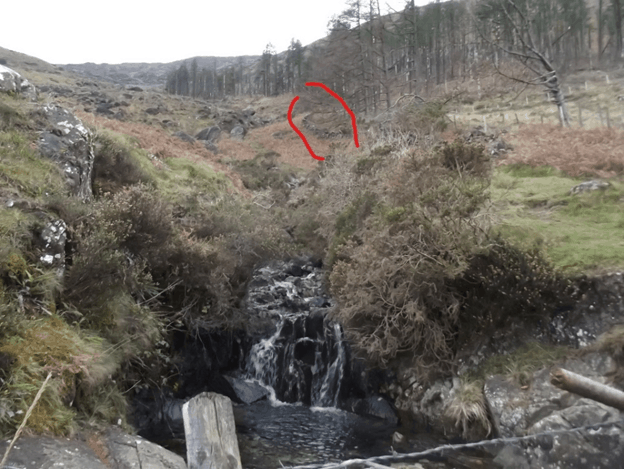
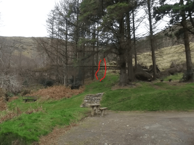
The Earl of Anglesey owned all the land on both sides of the Two-Mile River, but it was chosen as the traditional border between Carlingford and Omeath. Remains of a wall can be seen running up from the lower park in the Slieve Foye Forest Park, a five-minute hike up along the stream reveals a long wall climbing into the steep mountainside (see marked photos).
Men, women and boys aged 10 and over were employed from March 1846, men were paid 10 old pence a day for ten hours’ work, women and boys four pence. Each received a stone of ‘yellow meal’ – coarsely ground maize – once a fortnight to sustain them. Women carried stones to the wall in heavy canvas aprons.
We don’t know if anyone died on the local schemes, but they certainly did so in significant numbers on schemes elsewhere, by the end of 1846 there were more than three-quarters of a million people employed. We encourage a recent tradition among hillwalkers to lift fallen stones back up onto the walls in commemoration of the utterly desperate people, our people, who built them.